UAV Survey Challenges: DJI Restrictions Ahead
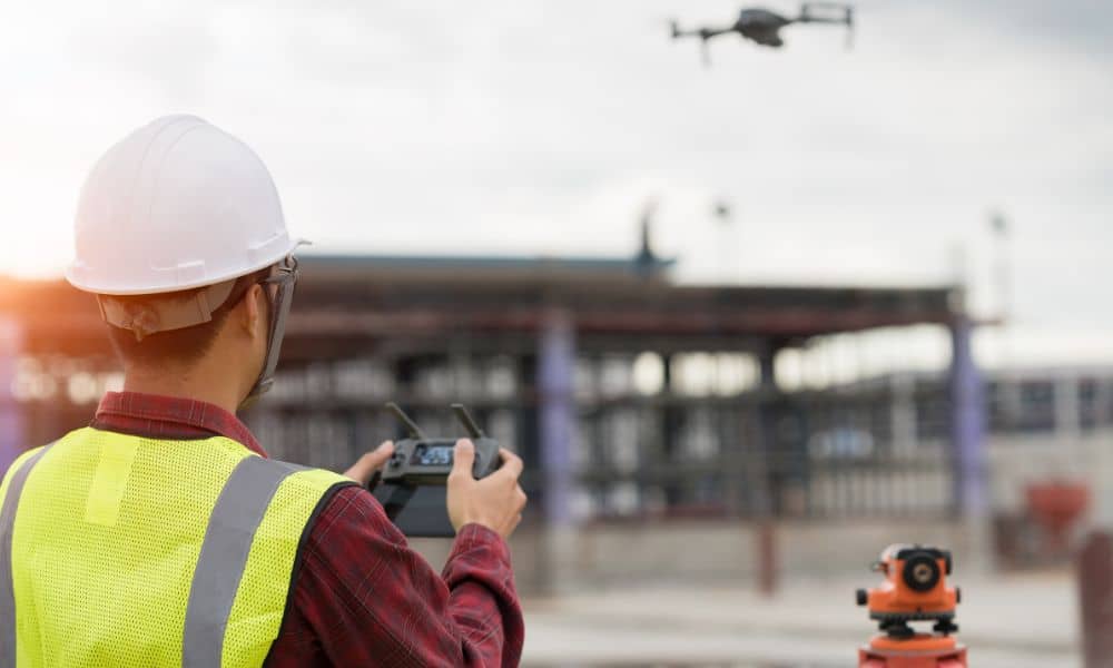
Drones changed the way surveyors work. A UAV survey lets crews map land, check elevations, and stake out subdivisions faster than ever. In Monroe County, most surveyors use DJI drones for sitework. These drones are trusted, affordable, and easy to use with mapping software. But now, big changes may be coming. U.S. lawmakers are moving […]