How an Elevation Certificate Confirms Your FEMA Flood Zone
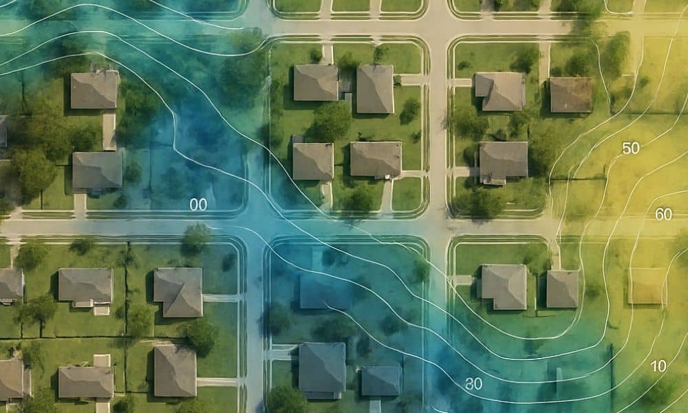
Many homeowners check their FEMA flood zone online and assume the map tells the whole story. It doesn’t. A FEMA map is only a starting point, and the real answer comes from accurate elevation data measured on your property. That is why an elevation certificate matters so much. It connects your home to Monroe County’s […]