Blog

Drone Surveying: Hype vs Reality for Real Projects
Scroll through social media or watch a few tech clips, and you might think drone surveying solves every site problem in minutes. A drone flies

Why Construction Surveyor Activity Is Suddenly Surging
If you feel like you’re seeing more survey crews around Rochester lately, you’re not imagining it. Construction sites that already had stakes are getting re-staked.

What Survey Fraud Reveals About ALTA Land Title Surveys
A recent news story about a land survey fraud case made headlines for all the wrong reasons. A survey agent was accused of taking bribes

Why Boundary Surveys Are Triggering Property Disputes
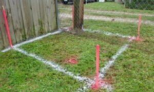
If you live in Rochester, you may have noticed something unusual lately. Survey stakes are popping up in yards. Neighbors are asking questions. Fence projects

Cities Rethink LiDAR Mapping After Major Water Main Failures
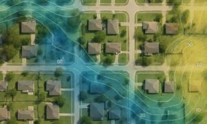
When a city suddenly loses water, people ask the same question right away: How did this happen? In many recent cases, the answer points to

How an Elevation Certificate Confirms Your FEMA Flood Zone
Many homeowners check their FEMA flood zone online and assume the map tells the whole story. It doesn’t. A FEMA map is only a starting