land surveying
Due Diligence Survey for Distressed Property Buyers
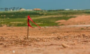
Distressed property catches attention right away. The price is lower than nearby listings, and the upside looks strong. Many buyers in Rochester see this as
Distressed property catches attention right away. The price is lower than nearby listings, and the upside looks strong. Many buyers in Rochester see this as
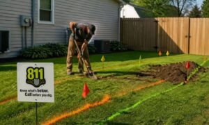
Spring shows up, and Rochester wakes up with it. Lawns get cleared. Fences go up. Driveways get poured. People finally start the projects they’ve been

Rochester is seeing a shift in how roads, utilities, and new developments get planned. Instead of relying on older ground measurements, many projects now start