When you buy land, you expect the property size to match the listing. You trust the tax record, the online map, and even what the seller says. However, a due diligence survey often tells a different story. In fact, a recent Reddit post from a buyer in Niagara County showed a “2-acre” property shrinking to 1.3 acres once the surveyor finished the measurements. Stories like this sound rare, but they happen more often than you think. And when they do, buyers feel blindsided, stressed, and unsure what to do next.
This kind of situation is exactly why a due diligence survey matters. It verifies what you are truly buying long before you sign final papers. It also protects you from paying for extra land that isn’t legally part of your parcel. With rising home prices and tighter budgets, no buyer wants that kind of surprise.
When the Land You Think You’re Buying Isn’t the Land You Get
Most people believe the acreage listed online is accurate. It should be, right? Unfortunately, listings pull their data from tax records, and tax records often come from old information. Many properties in Western New York were divided and sold decades ago. Some were even mapped by hand. Because of this, the county map may show shapes and boundaries that look clean, but the lines can be off by several feet—or sometimes more.
On Reddit, plenty of buyers shared the same frustration. They trusted the 2-acre listing, only to learn during closing week that the numbers never matched reality. A few even discovered that a neighbor’s fence or shed sat inside what they thought was their lot. Others learned their “extra field space” actually belonged to the parcel next door.
These surprises feel unfair, but they are avoidable.
Why Online Maps, Listings, and Tax Records Get It Wrong
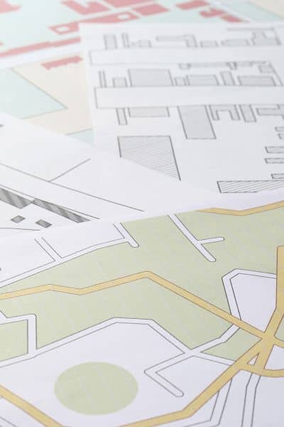
Online maps are helpful for getting a general idea of where a property sits, yet they don’t show true legal boundaries. The same goes for property apps, town websites, and GIS tools. They all rely on approximations.
Here’s why mistakes happen so often:
Old surveys. Many parcels were surveyed a long time ago, using older tools and rough measurements. If the markers on the ground have moved or disappeared, the county may still use the old numbers.
Hand-drawn maps. Some rural properties come from handwritten deed descriptions. Directions like “from the oak tree to the stone wall” do not age well.
Fence lines that lie. It’s common for property owners to build fences in the wrong spot. Over time, neighbors assume the fence marks the true line even when it doesn’t.
Shifting natural features. Streams, slopes, tree lines, and natural boundaries can shift over the years. That affects where the real line sits.
Because of all this, buyers think they’re getting one size when the real acreage is smaller. A due diligence survey solves that.
What a Due Diligence Survey Actually Does

A due diligence survey is a detailed check done before closing, and it gives you the real measurements of the land. It starts with research. The surveyor digs into old deeds, subdivision plans, property descriptions, and even neighboring parcels. This deep review helps them understand the true legal history of the land.
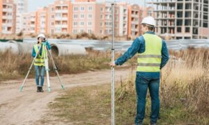
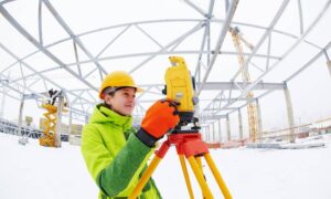
Next comes fieldwork. The surveyor goes out to the property and looks for old markers like pins, stakes, and iron pipes. If the markers are missing, they rebuild them using the legal records. They measure the exact distances between corners and check the direction of each line. This step removes all guesswork.
Once the fieldwork is complete, the surveyor calculates the correct acreage. For many buyers, this is the moment when the “2 acres” turns into “1.3 acres.” The number doesn’t lie. It reflects the true shape and size of the parcel, not what the tax map guessed.
A good due diligence survey also reveals:
- Encroachments (like a neighbor’s fence inside your lot)
- Easements you didn’t know about
- Gaps between parcels
- Overlaps with nearby lots
- Structures built too close to, or across, property lines
When your purchase depends on space—like room for a garage, garden, barn, or new home—these details matter.
What Happens When the Survey Shows Less Land Than Expected?
Acreage mistakes feel frustrating, yet buyers still have options when the survey comes back smaller.
Talk to your surveyor first. They will explain where the error came from. Maybe the listing pulled incorrect records. Maybe an old fence wasn’t in the right spot. Understanding the reason helps you know your next step.
Bring the survey to your real estate attorney. New York real estate depends heavily on attorney review. The attorney uses the survey to check if the contract is still fair.
Renegotiate. Many buyers ask for a price adjustment based on price-per-acre. A smaller parcel means you may be able to request a lower price or a seller credit.
Walk away if you need to. If the missing land affects how you plan to use the property—like space for a pool, workshop, or new structure—walking away might be the smartest choice. Several Reddit users mentioned canceling deals because the land no longer fit their needs.
In every case, the power comes from having accurate information early.
Why You Should Order Your Survey Early
Many buyers wait until the last minute, and that’s where the real stress begins. Survey delays can push back closing dates. Weather in Western New York also slows things down, especially once snow arrives. Surveyors need clear access to the land, visible markers, and safe working conditions.
Ordering your due diligence survey early gives you time to review results, ask questions, and handle any surprises. It also helps your attorney, your lender, and your title company move faster. When they have the survey early, everyone gets a clearer picture of the land.
Most of all, early surveys prevent emotional or financial shocks.
Western New York Buyers Face This More Than They Realize
Niagara and Monroe counties have many older parcels. A lot of them come from farmland that was divided over time. Add decades of fences, new builds, and shifting land features, and you get mismatched boundaries. This is why Western New York sees so many stories like the Reddit post.
Even in suburban areas around Rochester, buyers discover driveways crossing a neighbor’s property or sheds built too close to the line. A due diligence survey gives you a real map of what’s yours and what isn’t.
Final Takeaway:
Buying land is exciting, yet nothing is worse than learning your dream property is smaller than promised. A due diligence survey protects you from that. It gives you the truth early, helps you negotiate fairly, and keeps you from making a costly mistake.
In a market where every foot of land matters, the smartest buyers are the ones who verify first and sign later. A “2-acre” listing may not always be 2 acres—but with a proper survey, you’ll always know exactly what you’re really buying.


