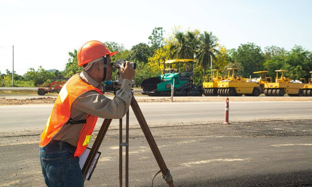
A construction surveyor may not be the first person you think of when starting a building project. Yet their role could mean the difference between a smooth development and a costly disaster. In the last week, a dramatic sinkhole in Bangkok swallowed cars, power poles, and part of a road outside a hospital. The video went viral, and people everywhere asked the same question: could this happen in my city?
For Rochester, the answer hits close to home. Earlier this month, a 36-inch water main burst near Monroe Avenue. Streets flooded, traffic halted, and businesses scrambled to recover. No one was hurt, but it reminded us that what lies underground is not always safe or predictable. That’s where a construction surveyor steps in.
The Hidden World Beneath Our Feet
When people picture construction, they often see heavy machines, rising steel, or crews pouring concrete. What they don’t see is the maze below ground: aging water pipes, forgotten gas lines, storm drains, and unstable soils. These hidden layers are the real foundation of any project.
If they are ignored, the results can be devastating. A sinkhole doesn’t form overnight—it builds quietly, often triggered by leaks, soft soils, or unmonitored excavation. By the time the surface collapses, it’s too late. In Bangkok, engineers now believe underground construction and water infiltration played a role. Rochester has different soil conditions, but the risks are real here too.
Why a Construction Surveyor Matters
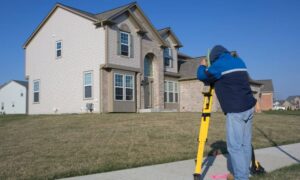
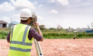
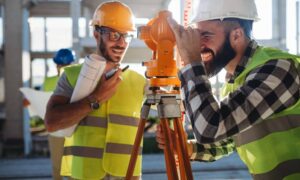
A construction surveyor is more than someone who sets stakes or draws maps. They act as the ground truth for builders, developers, and property owners. Their work confirms that what’s planned on paper actually fits the reality of the site.
Here’s what makes them essential:
- Accuracy in layout: They place control points so crews know exactly where to dig or build.
- Utility awareness: They help spot conflicts with existing water, sewer, or power lines before work begins.
- Monitoring during work: They check for movement or changes as construction progresses.
- As-built verification: They ensure that once the trench is filled, future crews know what lies below.
Without this oversight, projects take on unnecessary risk. A misaligned excavation could strike an old water main. An unchecked trench could settle unevenly, creating cracks or collapse later.
Lessons From Water Main Break
Think back to the Monroe Avenue water main break. The flooding forced lane closures and costly repairs. Imagine if that had happened right under a new development. Foundations could weaken, driveways could cave in, and business openings could face months of delay.
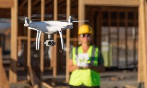
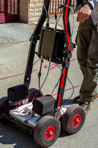
A construction surveyor helps reduce those risks. By combining utility records, ground-penetrating tools, and careful observation, they see what others miss. In older neighborhoods—where infrastructure can date back a century—this step is even more critical.
From Viral Video to Local Responsibility
The Bangkok sinkhole shocked viewers because it showed how quickly the ground can fail. Cars disappeared in seconds, and emergency crews rushed to keep people safe. While Rochester doesn’t face the same underground rail projects as Bangkok, we do share one truth: ignoring what’s below ground invites trouble.
A construction surveyor turns that truth into action. They give developers confidence that their site is ready, safe, and aligned with design. For property owners, they provide peace of mind that driveways, parking lots, and utilities won’t be torn up again after the ribbon cutting.
Seven Ways Surveying Protects Project
Instead of a dry checklist, picture how these services play out on real projects:
Coordination keeps projects safe. On large multi-phase jobs, the surveyor becomes the hub where engineers, contractors, and inspectors rely on one shared source of truth.
Utility locating saves budgets. A contractor plans to install a new storm drain downtown. The surveyor flags a gas line in the way. Adjusting early avoids both danger and delay.
Ground-penetrating radar spots voids. A commercial lot looks perfect on the surface. The radar scan reveals pockets of weak soil. Reinforcement is added before paving, not after.
Control points prevent disputes. Two contractors share a tight site. Thanks to survey stakes, both follow the same grid, avoiding costly rework.
Monitoring catches movement. During excavation near a retaining wall, the surveyor detects subtle shifts. Crews reinforce before failure occurs.
As-built surveys build trust. After backfilling a trench, the final survey creates a record. Future utility crews know exactly what lies beneath.
Floodplain awareness protects homes. A surveyor checks elevations and confirms compliance before permits are issued. No surprises later with insurance.
The Client’s View: Why It Matters
For builders, time is money. For property owners, safety and value matter most. A construction surveyor supports both.
Imagine a homeowner planning a new addition. Without surveying, the crew could hit an undocumented drain line. Repairs would blow up the budget. Or consider a developer ready to break ground on a mixed-use site. A surveyor’s early checks may uncover soil settlement risk that would otherwise show up years later as cracks and claims.
These aren’t abstract “what-ifs.” They are the real costs of skipping a step that protects projects before problems appear.
Moving Forward: A Smarter Way to Build in Rochester
The takeaway from both Bangkok and Rochester’s water main break is simple: the ground beneath us can fail if we don’t respect it. While sinkholes may grab the headlines, smaller issues—like slow leaks, uneven soil, or misaligned trenches—cause just as much damage over time.
By bringing in a construction surveyor at the start, you invest in certainty. You save on delays, protect against liability, and create projects that last. It’s not an added cost; it’s a safeguard.
Stronger Foundations, Safer Projects
No builder or property owner wants to face delays, damage, or safety concerns. Partnering with construction surveyors means fewer surprises and stronger results. It’s one of the simplest ways to make sure your project is built to last.
