Cities Rethink LiDAR Mapping After Major Water Main Failures
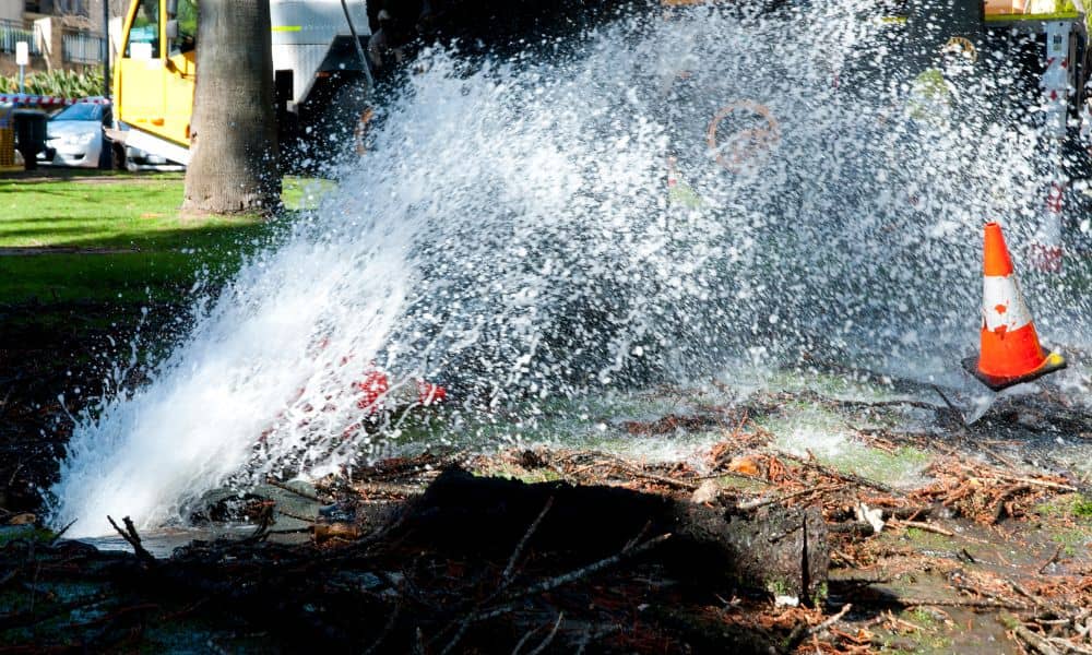
When a city suddenly loses water, people ask the same question right away: How did this happen? In many recent cases, the answer points to aging pipes, unclear records, and gaps in how cities understand what sits underground. That is why lidar mapping is now getting serious attention from city planners, engineers, and surveyors across […]