
Drone LiDAR Mapping and Tree Canopy Studies for Wooded Building Sites
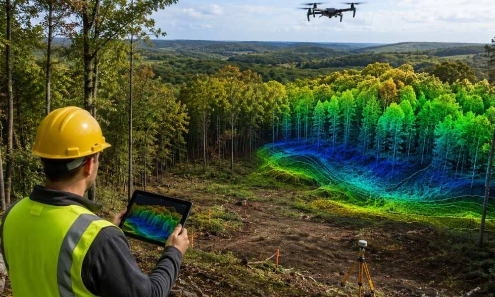
Wooded land is common across rural New York, and plenty of it sits near Rochester. On a parcel packed with trees, it can be hard to picture where a house or building might go. Drone LiDAR mapping helps here. It records the shape of the treetops and the ground under them at the same time. […]