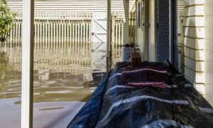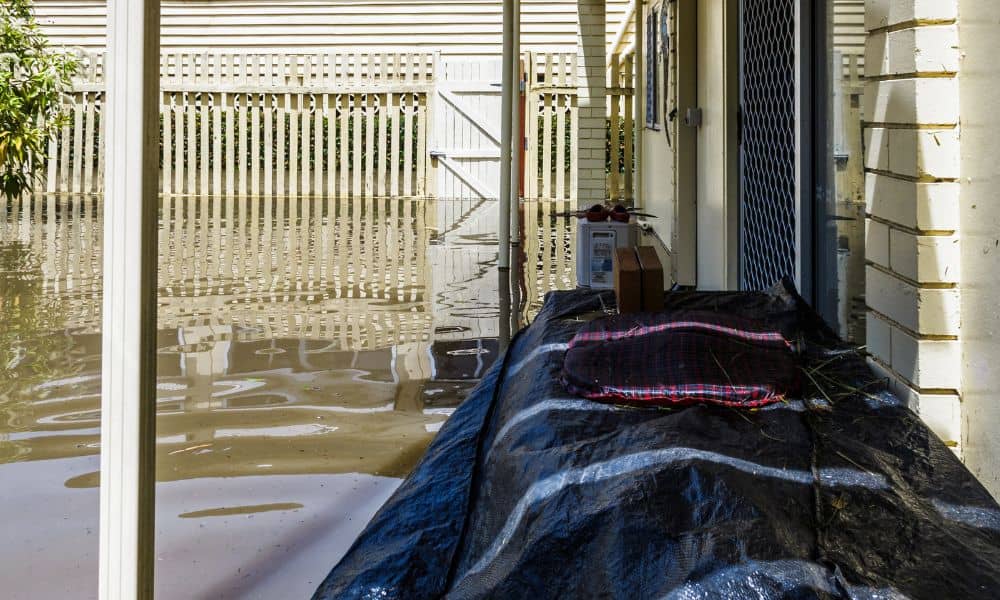
When your neighbor raises their yard, adds new soil, or builds a patio higher than yours, you might notice something unsettling — water suddenly pooling in your lawn after it rains. It’s not just bad luck. It’s a real drainage issue, and it happens more often than you’d think. In places like Rochester, New York, where heavy rain and lake-effect storms are common, one small change in grade can send runoff straight into the next property. That’s where a flood elevation survey comes in — the tool that can help you prove what’s really happening beneath the surface.
When “Just a Little Dirt” Becomes a Big Problem
A few days ago on Reddit, a homeowner posted: “My neighbor built up their yard, and now mine floods every storm. What can I do?” The post blew up because thousands of people have faced the same problem. It starts innocently enough — someone brings in fill dirt to level their yard or prep for a shed. But when that changes the slope, it can push water into nearby lots.
In Rochester neighborhoods like Irondequoit or Greece, even small grade changes can mess with natural drainage. Suddenly, one home’s improvement becomes another soggy nightmare. The good news? There’s a professional way to confirm exactly what’s going on — and it’s not a guessing game.
What a Flood Elevation Survey Actually Measures
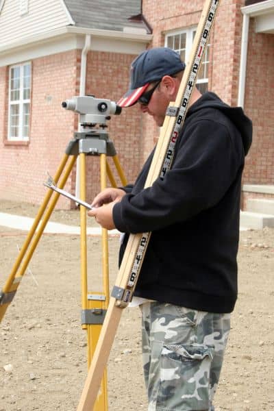
A flood elevation survey measures the height of your property and structures compared to the official Base Flood Elevation (BFE) set by FEMA. It tells you, in black and white, how your home sits in relation to potential flood levels.
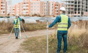
When a licensed land surveyor performs one, they record:
- Ground elevation around your home’s foundation
- The elevation of your lowest floor (including basements or crawl spaces)
- Key benchmarks tied to FEMA’s flood maps
- The elevation difference between your property and your neighbor’s
In short, it’s the only reliable way to see whether rising water is a fluke — or a grading mistake. The results also go into a document called an Elevation Certificate, which you’ll need for insurance, permits, or floodplain changes.
The Science Behind the Frustration
Water always seeks the lowest point. If your neighbor adds soil without understanding how the land slopes, runoff may now flow your way instead of to the street drain. Add a Rochester downpour, and you’re left with a mini pond in your yard.
This isn’t just annoying — it can affect your home’s foundation, basement, and even your property value. But arguing about it rarely helps. Instead, data from a flood elevation survey can give you proof. It shows measurable elevation differences, not opinions. If needed, that data can support a conversation with your neighbor, the city’s code enforcement office, or your insurance company.
Common Myths That Spread Online
Homeowners love to share advice online, but not all of it’s right. Some popular misconceptions floating around Reddit include:
Myth #1: “If my neighbor caused it, FEMA will fix it.” FEMA only maps flood zones. They don’t get involved in local drainage or grading disputes.
Myth #2: “I don’t need a survey — I can see the water pooling.” Visual evidence isn’t enough. Without elevation data, you can’t prove slope direction or flood risk.
Myth #3: “Only houses near rivers need flood surveys.” Not true. Many homes outside FEMA flood zones still experience localized flooding after grading or construction.
A flood elevation survey doesn’t just protect against major floods — it also verifies whether a simple backyard project has redirected water where it shouldn’t go.
How It Protects You
Think of it like a weather report for your property. A flood elevation survey gives you accurate numbers about how high your home sits compared to known flood risks. With that, you can:
- File complaints with evidence. Show exact elevation differences between lots.
- Work with a drainage contractor. Design swales or retaining structures that redirect runoff.
- Save on insurance. If your home is higher than FEMA’s base level, you could qualify for lower premiums.
- Plan improvements safely. Get elevation data before adding patios, basements, or landscaping that could change drainage.
When you have verified data, you don’t need to argue. The measurements speak for themselves.
When to Order a Flood Elevation Survey
If you’ve noticed water backing up near your house, or if your neighbor just did major grading, now’s the time. You don’t have to wait for a flood to act. Most homeowners request one when:
- A new shed, driveway, or patio next door changes ground levels
- They see pooling water after heavy rain
- They’re buying or refinancing a home in a mapped flood zone
- They need a FEMA elevation certificate for insurance or permits
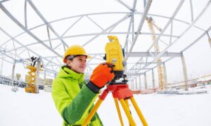
Turnaround is usually quick — a few business days after fieldwork. Licensed land surveyors use advanced GPS and laser equipment to collect data, ensuring accuracy down to fractions of an inch.
Real Stories, Real Frustrations
Reddit threads about neighbors and flooding often go viral because they feel unfair. Someone makes a change, and another homeowner pays the price. But behind every angry post is the same underlying issue — no one measured the land first.
One comment stood out: “Wish I’d gotten a flood elevation survey before arguing. Would’ve saved me months of stress.” That’s the truth. Facts replace frustration.
The Local Perspective
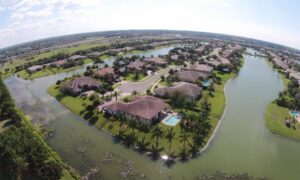
In Rochester and surrounding towns, drainage isn’t just a rural problem. Older urban lots, tight zoning, and aging storm drains can make small changes feel huge. With Lake Ontario’s water table and frequent rainfall, elevation differences matter more than most people realize.
That’s why a flood elevation survey is more than a technical formality — it’s peace of mind. It helps homeowners understand how their land fits into the bigger system of runoff, floodplains, and neighborhood grading.
Turning Data Into Action
If you suspect your neighbor’s new project changed how water flows, start with information, not confrontation. Call a licensed land surveyor who performs flood elevation surveys. They can measure, document, and even help interpret your FEMA data.
Once you know your property’s elevation, you can decide what comes next — whether it’s drainage work, insurance adjustments, or simply peace of mind.
Because when it comes to water, gravity doesn’t lie — but people’s opinions might.
Final Thought
A flood elevation survey doesn’t just help after a flood. It helps before one happens. It keeps neighbor disputes from turning personal, insurance claims from stalling, and home values from sinking.
So if you’ve ever looked out after a storm and thought, “Why is all this water suddenly here?” — it might be time to measure, not guess. In Rochester, that simple step can protect your home, your budget, and your sanity before the next downpour hits.
