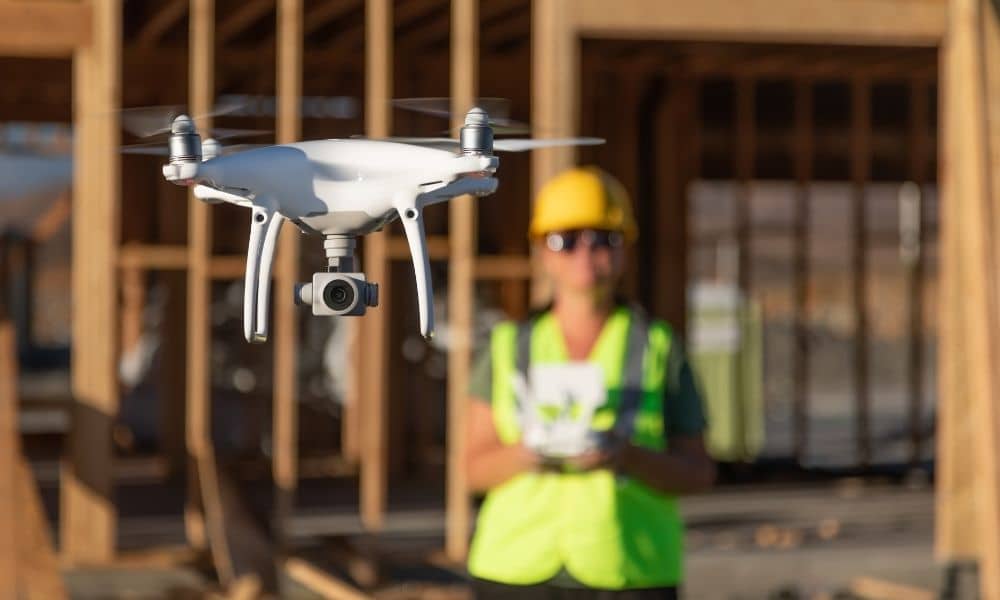
Scroll through social media or watch a few tech clips, and you might think drone surveying solves every site problem in minutes. A drone flies over land, software builds a model, and suddenly everything looks mapped and measured. Because these videos spread fast, many property owners and developers now expect the same results on real projects.
However, real projects work very differently. While drone surveying is powerful, it is not magic. Understanding what it can and cannot do helps projects move faster and avoid costly mistakes.
Let’s separate hype from reality and talk about what projects actually require.
Why Drone Surveying Feels Overhyped Right Now
Technology news moves fast. Drones, AI, and 3D mapping tools show impressive results online. Because of that, expectations rise quickly. Many people now believe a drone flight replaces traditional surveying work.
At the same time, viral videos rarely show the full process. They focus on visuals, not responsibility. They skip accuracy checks, legal requirements, and local site limits. As a result, clients approach projects with ideas shaped by highlights, not by how land surveying truly works.
That gap causes confusion before work even starts.
Common Assumptions Clients Bring to Drone Surveying
Many projects start with honest questions. Still, those questions often come from false assumptions.
Some of the most common ones include:
- “Can’t a drone replace field crews?”
- “Why does this still take time?”
- “Why do I still need a licensed surveyor?”
- “Why can’t this define my property lines?”
These questions make sense. However, drone surveying works as part of a larger process, not as a shortcut.
What Drone Surveying Cannot Replace
Drone surveying collects data from above. That strength matters. Still, it does not replace every type of survey work.
For example, drone data cannot legally establish property boundaries. It cannot replace boundary surveys, title surveys, or mortgage-related surveys. It also cannot replace construction staking, where precise ground points guide builders.
Even the best aerial data still needs control points, verification, and professional review. Without that oversight, the results lack legal and engineering value.
Because of this, drone surveying supports surveys, but it does not replace them.
Why Rochester Sites Add Extra Complexity
Rochester brings its own challenges. Many areas feature mature trees, older neighborhoods, and mixed-use development. During leaf-on seasons, heavy canopy blocks ground visibility. During winter, snow cover hides surface detail.
In addition, older infrastructure often sits close to property lines. Utilities, sidewalks, and road edges complicate site interpretation. A drone can collect images, but it cannot explain legal intent or past construction decisions.
Because of these conditions, drone surveying must adjust to the site, not the other way around.
Where Drone Surveying Fits Best in Real Projects
Drone surveying works best when teams use it with purpose. Instead of asking, “Can we use a drone?” the better question becomes, “What problem are we solving?”
On Rochester projects, drone surveying often supports:
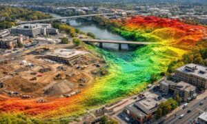
- Topographic surface modeling
- Site planning and design context
- Volume calculations for earthwork
- Progress documentation during construction
- Access to areas that crews cannot reach safely
In each case, the drone provides data. Then licensed professionals review and apply that data correctly.
Why Licensed Surveyors Still Matter
Technology does not remove responsibility. Instead, it shifts it.
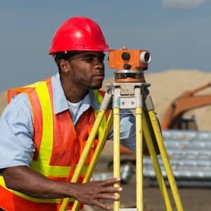
A licensed surveyor reviews drone data, verifies accuracy, and confirms that results meet standards. That oversight protects property owners, engineers, and builders. It also ensures that final deliverables hold up during approvals, financing, and construction.
Without that professional role, drone data becomes risky. With it, drone surveying becomes reliable.
How to Tell If Drone Surveying Is Right for Your Project
Before choosing drone surveying, it helps to step back and look at the project goals.
Ask a few simple questions:
- What decisions will rely on this data?
- Who needs to approve the results?
- How accurate must the information be?
- Does the project involve legal boundaries?
- Will weather, trees, or site access affect visibility?
When these questions guide the process, drone surveying delivers real value instead of disappointment.
Cutting Through the Hype
Drone surveying continues to change how sites get measured and understood. Still, success comes from using it correctly, not from assuming it replaces everything else.
In Rochester, projects move forward when teams match tools to needs. Drone surveying works best when it supports professional judgment, local knowledge, and clear goals. When that happens, the results speak for themselves.
Understanding the reality behind the hype helps projects start smarter and finish stronger.