Topographic Surveys for Efficient Land Development Permits
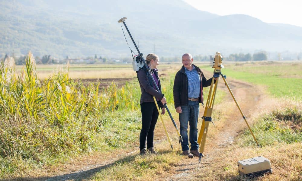
If you’re planning to develop land, one of the smartest first steps is getting topographic surveys done. These surveys give you a clear picture of your property’s surface — every hill, dip, tree, and building — so you can plan your project right the first time. Without accurate topographic surveys, you might run into surprises […]
Do You Need a Boundary Survey After a Natural Disaster?

When a natural disaster hits, like a flood or storm, it can leave a big impact—not just on your home but also on your property lines. If you live in Rochester, New York, where weather can be unpredictable, you might wonder: Do you need a boundary survey after a natural disaster? The short answer is […]
Drone Surveying for Tight Lots and Vertical Builds

If you work in construction or land development, you probably know how hard it is to survey tight lots and vertical builds. These projects come with special challenges that make traditional surveying slow, expensive, and sometimes dangerous. That’s why drone surveying has become a smart, modern solution. It offers a faster, safer, and more accurate […]