Subdivision Surveys: What Developers Must Know Before Building

If you’re a developer, you might have heard about subdivision surveys. But what exactly are they, and why are they so important before you start building? This blog will explain subdivision surveys in simple, clear terms. You’ll learn why these surveys are key to making sure your project goes smoothly and avoids costly problems. Subdivision […]
UAV Survey Challenges: DJI Restrictions Ahead

Drones changed the way surveyors work. A UAV survey lets crews map land, check elevations, and stake out subdivisions faster than ever. In Monroe County, most surveyors use DJI drones for sitework. These drones are trusted, affordable, and easy to use with mapping software. But now, big changes may be coming. U.S. lawmakers are moving […]
Topographic Surveys for Efficient Land Development Permits
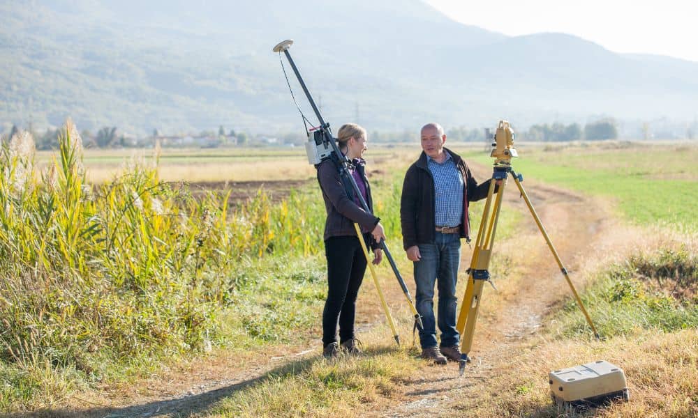
If you’re planning to develop land, one of the smartest first steps is getting topographic surveys done. These surveys give you a clear picture of your property’s surface — every hill, dip, tree, and building — so you can plan your project right the first time. Without accurate topographic surveys, you might run into surprises […]