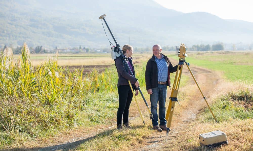
If you’re planning to develop land, one of the smartest first steps is getting topographic surveys done. These surveys give you a clear picture of your property’s surface — every hill, dip, tree, and building — so you can plan your project right the first time. Without accurate topographic surveys, you might run into surprises that slow down your permit process, costing you time and money.
Rochester has a mix of flat city land and more uneven, hilly areas nearby. Because of that, knowing exactly what your land looks like through detailed topographic surveys helps both you and city officials make better decisions. When the city reviews your permit application, they rely heavily on this land information to approve your project smoothly.
What Are Topographic Surveys?
You’ve probably heard of land surveys that mark your property lines. Topographic surveys go way beyond that. They map the shape and features of the land’s surface in detail. That means they show elevation changes (like hills and valleys), natural features such as trees, streams, and wetlands, plus any man-made objects like roads, buildings, fences, and utilities.
Think of a topographic survey as a 3D map of your land. This map helps you understand the terrain so you can design your project accordingly. In Rochester, where the land can vary quite a bit depending on the neighborhood, this kind of survey is critical for accurate planning.
Why Do Developers Need Topographic Surveys?
When you apply for a land development permit, the city wants to see detailed and accurate information about your property. They use this data to make sure your project follows local zoning laws, respects environmental rules, and stays safe for everyone.
Without a good topographic survey, your permit application might miss key details, like where water drains or if parts of your land have steep slopes. If these things aren’t clear, the city might ask for changes or reject your plans. That leads to costly delays because you’ll have to fix problems later.
A thorough topographic survey shows city officials exactly how your project fits the land’s shape and features. This makes the approval process faster and smoother.
How Topographic Surveys Help You Get Permits Faster

City planners and permit offices deal with lots of applications. They tend to approve ones that are clear, complete, and accurate. A detailed topographic survey helps you create these types of applications.
This survey provides data like land elevations, slopes, and natural features. This lets you find problems before you submit your permit plans. For example, if a part of your land floods after heavy rain or if there’s a wetland you need to protect, the survey will highlight these areas. You can adjust your project to handle these challenges early on.
When your plans match what the city expects, officials don’t have to ask you for extra information or changes. That means less waiting and faster permit approvals.
Technology Makes Topographic Surveys More Accurate and Faster
Topographic surveys today are nothing like they used to be. Thanks to modern tools and smarter land survey technology, like drones, GPS, and LiDAR, surveyors can now collect detailed data much faster and with incredible accuracy.
This makes a big difference. Whether your project is in a tight city lot or on a wide rural property, these tools help surveyors map out the land quickly—even in places that are tough to reach on foot.
The best part? You get your results sooner, which helps you move your project forward without delays or last-minute surprises.
How to Use Topographic Surveys to Your Advantage
Here are some simple tips to get the most from your topographic survey.
- Schedule the survey early. Don’t wait until the last minute. Getting your survey done well before you apply for permits gives you time to review the data and make any changes needed.
- Choose a local surveyor. Pick someone who knows zoning and permit rules. They’ll know what city officials expect and make sure your survey covers everything necessary for a smooth review.
- Communicate clearly. Keep in touch with your surveyor, engineers, and city officials. When everyone understands the plans and data, the permit process goes much faster.
A Real Example from Rochester
Let’s look at a real-life example from Rochester’s suburb of Brighton. A developer wanted to build a housing community on a piece of land with rolling hills and a small creek.
Before applying for permits, they ordered a detailed topographic survey. This survey showed exactly where the land sloped and where water naturally drained. Using that information, the developer designed roads and homes that fit the land’s natural shape, which saved money on earthwork and grading.
When they submitted their permit application with the survey data included, Rochester’s city planners approved it quickly. The project started on time with no surprises.
This example shows how important a good topographic survey can be in keeping your project on track.
Why Skipping a Topographic Survey Is Risky
You might think you can save money by skipping the survey. But that choice often leads to bigger problems later.
Without a topographic survey, you risk:
- Design mistakes that don’t fit the land
- Permit delays because the city needs more info
- Unexpected costs to fix problems during construction
- Legal issues if you build in protected or unsuitable areas
Spending a bit upfront on a topographic survey helps you avoid these risks and keeps your project moving smoothly.
Final Thoughts:
If you want your land development project to succeed, don’t skip the topographic survey. It’s your best tool for understanding your land, meeting city rules, and speeding up permits.
Get your survey early, work with local experts, and keep open communication with the city. These steps will save you time, money, and headaches.


