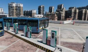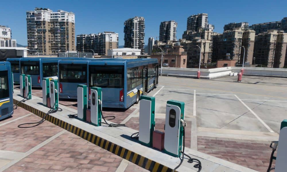
Rochester is getting ready for a cleaner and smarter future. This month, New York State announced more than $80 million in new funding to add zero-emission buses and electric charging stations across the region. Some of that money will support transit sites here in Rochester, helping the city cut down on pollution and modernize transportation. Before the first charger is installed or the first trench is dug, one important step must happen — the ALTA Land Title Survey. It might not sound exciting, but it’s one of the most important parts of any construction project. Without it, even well-planned projects can run into expensive mistakes and long delays.
The First Step Beneath Every EV Project
When people think about electric buses and chargers, they imagine clean energy and new technology. But what’s often missed is what’s underneath. Before engineers or builders start, they need to know exactly where the property lines, easements, and underground utilities are.
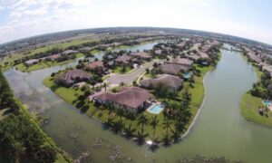
That’s what an ALTA Land Title Survey provides. It’s a detailed map made by licensed land surveyors. It confirms property boundaries, shows features like fences or buildings, and identifies underground lines and any limits on how the land can be used.
For public projects like this, accuracy is everything. The city and state have to make sure construction happens on the right land — not across an easement or private property line. The ALTA Land Title Survey makes sure everything is built exactly where it belongs.
Why the Survey Comes Before Construction
Installing EV chargers takes more planning than people think. These chargers need large pads, deep electrical lines, and clear paths for buses and service trucks. If property lines or utilities aren’t mapped first, small errors can become big problems later.
An ALTA Land Title Survey helps prevent those problems by:
- Confirming that every charger and bus lane stays inside the property boundary.
- Showing easements so crews don’t dig near underground lines.
- Revealing fences, poles, or other things that could block work areas.
Skipping this step could mean digging in the wrong spot, hitting existing lines, or waiting for new permits. Doing the survey first keeps everything safe and on schedule.
Rochester’s Standards Keep Projects Accurate
Rochester doesn’t just use basic maps. The city follows a local rule called R626, which sets standards for permanent survey monuments — the metal markers that define exact points on the ground. Monroe County also manages a geodetic control network, a system of reference points that helps surveyors match their work to official records.
These systems make every map consistent and reliable. When surveyors follow R626 and use county control points, the lines on paper match the real spots on the ground.
That accuracy is vital for public projects. It helps prevent problems like crooked parking lanes, uneven charger spacing, or blocked drainage paths — all things that could lead to costly fixes later.
From Map to Construction Site
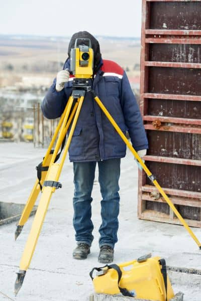
After the ALTA Land Title Survey is done, engineers use it to start designing the project. It becomes the base map for plans such as grading, drainage, and charger pad layouts.
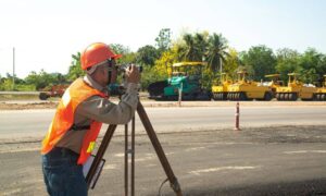
Survey data also guides construction staking, where workers mark the exact points for digging, pouring concrete, and placing chargers. These marks help keep every part of the project in the right location.
Surveyors may also perform a topographic survey to measure elevation and slope. This helps engineers plan how rainwater will drain and where to adjust the ground level. Together, these surveys give builders the details they need to keep the site accurate, safe, and ready for inspection.
Avoiding Costly Mistakes
Even small errors can cause major problems. Imagine pouring a concrete pad and later finding out it crosses the property line. That means tearing it out, redoing the work, and waiting for new permits.
A clear ALTA Land Title Survey stops those mistakes before they happen. Surveyors find issues early so engineers can fix them in the design, not during construction. This saves time, money, and stress for everyone.
Developers who start with good surveys stay ahead of deadlines and earn trust from lenders and inspectors. It shows the project was done right from the start.
Building a Sustainable Future from the Ground Up
Rochester’s move toward electric transit isn’t just about replacing old buses. It’s about building smarter and more responsibly. A sustainable city depends on accurate maps of its land, utilities, and roads. The ALTA Land Title Survey gives city planners and engineers that starting point.
By mapping each site before construction, surveyors help reduce mistakes, protect underground lines, and limit wasted materials. Every charger installed correctly the first time saves money and lowers the project’s carbon footprint.
Clean energy may start with technology, but it succeeds because of good planning — and that planning begins with accurate land surveys.
The Starting Point for Rochester’s Green Projects
As New York’s EV projects move ahead, the first people on-site won’t be electricians or builders — they’ll be surveyors. They’ll set markers, check property lines, and make sure the land is ready so construction can move forward smoothly.
Before any charger powers up, an ALTA Land Title Survey will make sure everything above ground stands on solid ground.
If you’re planning an EV depot, a charging site, or any public project, start with a survey. Order your ALTA Land Title Survey early so your project stays accurate, compliant, and ready to build.
Because every green project — no matter how advanced — starts with one thing: a clear and trusted map of the land.
