When a natural disaster hits, like a flood or storm, it can leave a big impact—not just on your home but also on your property lines. If you live in Rochester, New York, where weather can be unpredictable, you might wonder: Do you need a boundary survey after a natural disaster? The short answer is often yes, and here’s why.
A boundary survey helps confirm the exact lines of your property. After a disaster, those lines might shift or become unclear. That can cause problems with your neighbors, insurance claims, or rebuilding plans. So, it’s smart to understand when and why a boundary survey becomes necessary after something like a flood or severe storm.
How Natural Disasters Affect Property Boundaries
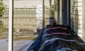
Rochester experiences a variety of weather challenges—from heavy rains and flooding to occasional ice storms and strong winds. When flooding happens, it can wash away soil or move rocks that mark your property edges. Likewise, heavy winds can knock down fences or markers.
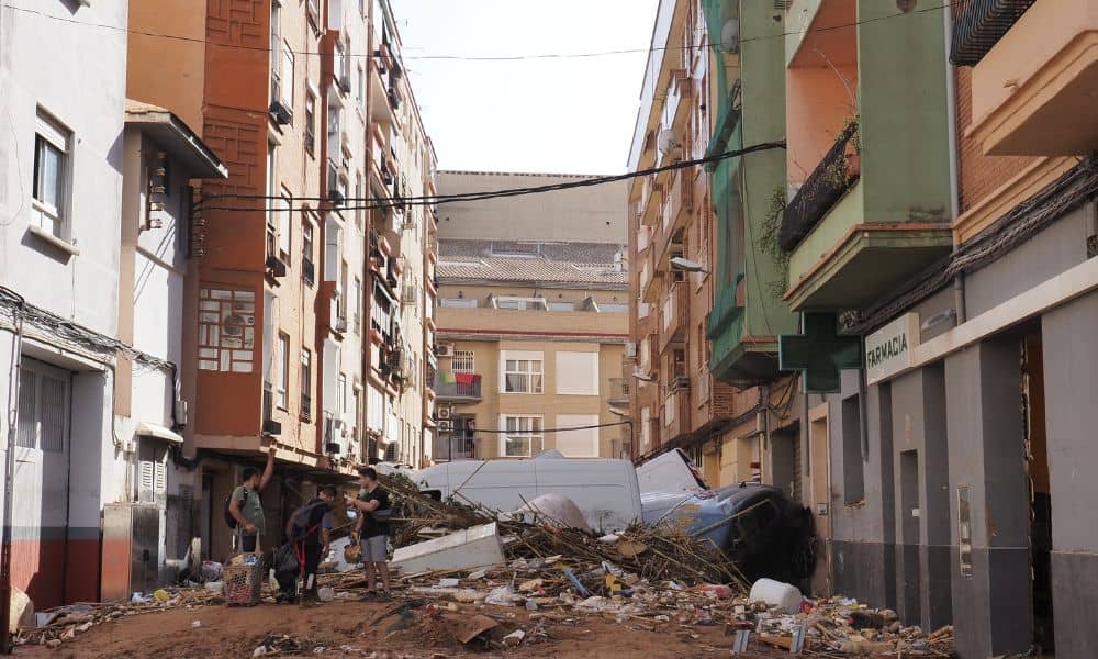
Natural disasters like floods and storms can also cause erosion or shift the ground. This can make your property lines unclear. Imagine trying to rebuild a fence but not knowing exactly where your land ends. That’s a common issue. Also, natural disasters might damage landmarks or boundary markers that surveyors use to define your land.
Because Rochester has neighborhoods with older homes and established property lines, even small shifts can lead to disputes. That’s why checking your property boundaries after a disaster is so important.
Why You Should Consider a Boundary Survey After a Disaster
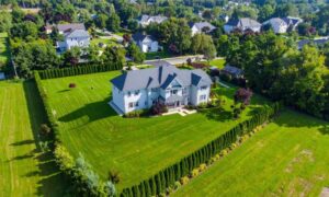
First, a boundary survey can help you know for sure where your property begins and ends. After a natural disaster, things might look different on the ground, and old markers may be missing or damaged.
Second, getting a boundary survey protects you from disagreements with neighbors. If your fence was pushed over or a tree fell near the property line, confusion can happen. A professional survey will clearly show where each property starts.
Third, insurance companies sometimes ask for updated surveys after major disasters. They want to make sure repairs or rebuilding are done within your property limits. If you don’t have an accurate survey, your insurance claim might get complicated.
Lastly, if you plan to rebuild or fix your home or fence, a boundary survey ensures you don’t accidentally build on your neighbor’s land or too close to the property line. Rochester’s local laws and zoning rules often require this.
When Should You Get a Boundary Survey?
You should schedule a boundary survey if you notice any of these signs after a disaster:
- Your fence or boundary markers are gone or damaged.
- Your yard or land looks shifted or eroded.
- Your neighbor asks questions about property lines.
- You plan to repair, rebuild, or sell your home.
- You want to file an insurance claim related to property damage.
Even if you don’t see obvious changes, it’s a good idea to talk to a licensed surveyor if you live in a flood-prone or storm-affected area. They can help identify problems you might miss.
What Happens During a Boundary Survey After a Natural Disaster?
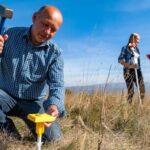
When a surveyor arrives, they will start by reviewing old property records and maps. Then, they’ll visit your property to check markers, fences, and natural features.
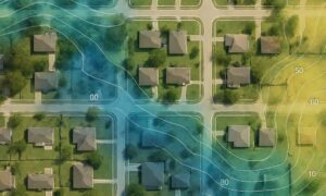
Surveyors often use advanced tools like GPS and GIS mapping to get precise measurements. Sometimes, drones help surveyors get a full picture, especially if the land is hard to access because of damage.
Once the survey is done, you get an updated map showing your exact property lines. The surveyor can also reset boundary markers if they are missing or damaged. This document is important for legal purposes, rebuilding, or resolving disputes.
How to Choose the Right Surveyor
Choosing the right person to do your boundary survey makes a big difference. It’s best to go with a licensed surveyor—someone officially certified in your state. That way, you know they’re following the proper rules and using the right methods.
Experience is important, especially if your property has been affected by a natural disaster. You’ll want a surveyor who understands local zoning laws and the unique challenges in your area.
To find the right professional, ask neighbors for recommendations or check online reviews. A good surveyor will take the time to explain the process clearly and answer any questions you have—no surprises, just honest and straightforward communication.
What Does a Boundary Survey Cost After a Natural Disaster?
The cost of a boundary survey can vary depending on several factors. Things like the size of your property, the extent of damage from the disaster, and how much work the surveyor needs to do all affect the price. For example, if your land has shifted a lot or markers are missing, the survey might take more time and require extra equipment, which can increase costs.
On average, a boundary survey after a natural disaster usually costs more than a standard one because of these added challenges. While it might feel like a big expense right after a disaster, getting an accurate survey can actually save you money down the line by preventing disputes or building mistakes.
Conclusion:
Natural disasters can affect more than just your home—they can also alter your property boundaries. Having a boundary survey after events like floods or storms helps verify your property lines, avoid disputes, and guide any necessary repairs or rebuilding.
It’s important to assess your land and consult a licensed surveyor if you suspect changes. Clear and accurate property boundaries help protect your investment and ensure everything stays within legal limits.

