Why an ALTA Survey Often Becomes Part of Mixed-Use Redevelopment Plans
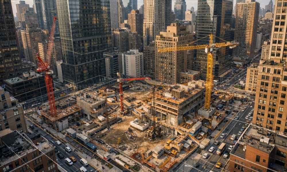
Mixed-use redevelopment projects move fast. Developers juggle zoning boards, lenders, architects, and title companies all at once. The ALTA survey is what holds it all together. Without it, you are building on assumptions. And in New York City, assumptions cost money. This article breaks down why ALTA surveys are not optional for mixed-use redevelopment. It […]
Due Diligence Survey for Distressed Property Buyers

Distressed property catches attention right away. The price is lower than nearby listings, and the upside looks strong. Many buyers in Rochester see this as a chance to get ahead. But the land behind those deals often tells a different story. Some of these properties sat empty for years. Others went through foreclosure. In many […]
Why More People Call Surveying Companies in Spring
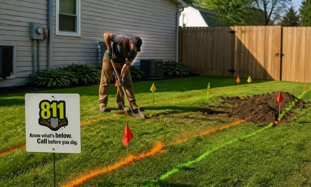
Spring shows up, and Rochester wakes up with it. Lawns get cleared. Fences go up. Driveways get poured. People finally start the projects they’ve been thinking about all winter. At the same time, April is known as Safe Digging Month. You’ll hear a lot about calling 811 before you dig. That part matters. It helps […]